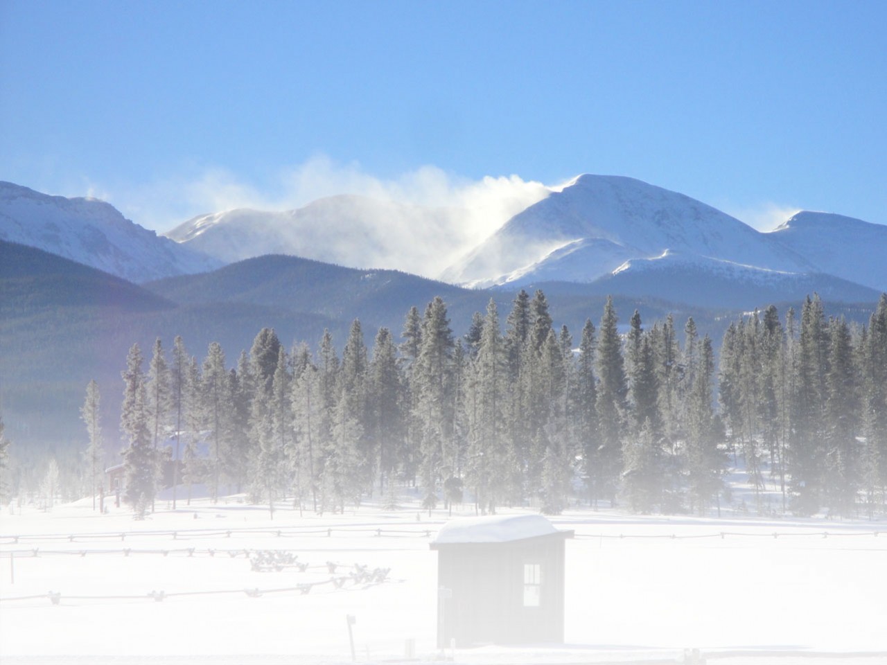
I’d heard a lot of warnings about hiking the Northville-Placid Trail (NPT) in the fall. The stream crossings would be difficult and cold. I imagined myself wading knee-deep through rivers. Hunting season would be in full-swing. My boss, an Adirondacker, born and raised, sat me down and gave me a bear talk, complete with details about one woman who was solo hiking the trail and was stalked by a black bear. She ended up having to knife the bear. Other people just seemed confused. “Wait, so you’re not hiking with a group? You’re going alone?” To them, the prospect seemed crazy, at best.
But in my opinion it was completely reasonable. My day job was slowing down enough so that I could take a vacation. The trail is just over 130 miles, which could be comfortably fit into 9 days of hiking. There would be rustic shelters that I could stay in so I could leave my tent at home and just bring a tarp for any nights I wanted to or had to camp out. Most of the tourists were out of the region and the fair-weather hikers were at home, so I wouldn’t have to deal with crowds. There would be no bugs or hot weather. Plus, the trail sticks to the valleys so I would escape a lot of the harsher weather conditions in the mountains.
So, on October 19, I woke up amidst snow flurries and headed south to Northville to begin my journey. Admittedly, I was a bit under-prepared. My job had been busy and I’d been out-of-town the weekend before. I ended up just throwing my gear and some food into my pack, typing up an itinerary so I’d have an idea of how much I should hike each day and the places where I could get off the trail to resupply, if need be. Therefore, it was unsurprising that during my trip down to Northville, I learned that there was a new start to the trail that had just been opened several months ago. The man who told me about the new trail didn’t know any of the details, so I opted to be dropped off in Northville proper, as opposed to the parking area in Upper Benson where most hikers start, in order to ask around about the new trailhead.
Strangely, despite its small size, no one in Northville seemed to have a definite answer. I ended up consulting a kiosk in the town center that listed a trail section running from Benson Rd. to where the old NPT crosses Stony Creek as the most recent opening that eliminated 1.6 miles of the 10 mile roadwalk. The map at the kiosk displayed several possible routes that would run through the woods from Northville to Upper Benson that were slated for 2016 and would eliminate nearly all of the road walk. I later learned from the Adirondack Mountain Club that some parts of this trail have been completed but that others are pending permission from private land owners.
Ultimately, I ended up walking most of the way from Northville along the road to the trailhead on Benson Rd.. All the trail markers on this section were newly placed with several inches of nail left out to allow the trees to grow. I often found myself losing the trail because of the leaf litter and the lack of erosion or compaction. The new trail also wasn’t included on my map so it was difficult to pinpoint exactly where I was. Even with the difficulties, the frustration of trying to figure out how to start the trail was soon tempered by the trail’s surroundings. It was the first day of muzzleloader hunting season in New York State so the sounds of gunshots gradually faded as I travelled deeper into the woods with the deer bounding across my path. Throughout my trip I’d heard shots as I approached roads and inhabited areas, but I never ran into any hunters and I frequently saw deer. Several miles down the trail, the late afternoon sun glistened off of one lazy stream and I began to feel the joy of being in the woods.

Afternoon sun on Abner Brook.
On my first afternoon, I saw a day hiker near Stony Creek. He turned out to be the last person I would see in the woods for about 100 miles. There is something magical about hiking a trail with no one else on it. On my third night, when staying at Spruce Lake, it occurred to me that I had the whole, beautiful place to myself. While there was a small chance that someone could have been camped at one of the other shelters, there was absolutely no sign of another person. Looking at the stars reflected on the water, I stared out into the darkness. As I readied my breakfast in the morning, I heard the haunting call of the loon rising over the misty water.

A view of the water from Spruce Lake #3 Shelter.
Days later, walking through Lake Durant State Campground, I passed by a group of employees in an otherwise deserted campground. “I thought I’d seen a ghost,” one man said when I returned to talk to them. And at times the trail did seem to be inhabited by ghosts. Some shelters were littered with trash and belongings from visitors who had used them during the summer season of camping and partying. They were long gone with only this evidence of their stays. After days without seeing anyone, I began to hear voices in the water of the streams. When there are more deer and moose prints than human ones along the trail, solitude was knowing not just that I hadn’t seen anyone but also that there was no one to see. Startled grouse flew up in front of me as I hiked and I heard more coyote howls and owl calls than human voices. On one of my last days on the trail I came across a small pile of rusted pots, pans, and scrap metal dedicated to Noah John Rondeau (1883-1967), the Hermit of Cold River. I shivered to think of living year-round in the cold, unforgiving woods and as I walked I thought of the footsteps of those who had lived in and passed through the woods before me.
During the hike, I was constantly aware that my margin for error was far smaller than usual. I knew that one bad fall or even just a sprained ankle would be a serious problem with no cell phone reception and few hikers on the trails. Based on trail registers and footprints, in some places it looked like a week could easily pass between visitors. So when I heard a crashing in the woods close by I froze and my heart started racing as I remembered my boss’s warning.
I was by Mud Lake on a particularly muddy and remote section of trail and by this point in my trip, I could tell the difference in the sounds between “something big,” such as a deer, moving through the woods and “something really big.” After what seemed like a long time, but was probably no more than 15 seconds, I shouldered my pack and slowly headed up the trail, trying to make as little noise as possible. I’d only taken a few steps when there some slow movement ahead of me, behind some bushes. Finally, I saw the head of a moose. We stared at each other for a long moment then it started moving awkwardly down the trail. I was struck by how closely the yearling moose resembled a donkey or a horse, just more strangely shaped and lankier. I had plenty of time to observe the animal as I followed it down the trail at a leisurely pace. It trotted or walked, stopping every once and awhile to stare at me. Although it seemed calm and wasn’t acting threatened, I was acutely aware of how alone I really was and that getting too close would be foolish. Finally, after about 10 minutes, it veered off the trail and headed up a hill. I watched it for a minute and then continued my hike.

A moose looking back at me on the NPT.
Distractions like the moose weren’t the only factors that influenced my hiking speed. My pace depended a lot on the trail, despite only mild elevation changes. A lot of the place names reflect the difficult and inhospitable terrain of the trail. I first got one of my boots wet in Bloodgood Brook. Even the Cold River doesn’t exactly seem all that inviting of a place. But most characteristically, when the re-route from Northville is completed, the NPT will pass by a total of three Mud Lakes.

The edge of an aptly named Mud Lake.
As it turned out, the real-time sinker (often-times too literally) turned out to be the mud and bog bridges. I spent many hours slogging through mud and slowly, carefully walking over bog bridges, all the while debating which was worse: to face the mud with or without the bog bridges. The mud would pull at my boots and splatter my clothing as I skidded over it. The bog bridges provided cleaner passage with less trail erosion but they were always slippery, covered in moss and slime, and therefore very treacherous. Even taking them slowly, with that knowledge, I flew off several. Sometimes stretches of bog bridges would span for what felt like a quarter-mile or more. The mud, too, could be extreme. At one point I scared a frog off the trail. It was mostly underwater so I hadn’t seen it. At another I plunged knee-deep into a particularly bad patch. The naturally muddy terrain was further complicated by the area’s overly busy beavers that seem to delight in submerging sections of the NPT. The trail has been re-routed a number of times in response to beaver activity.
While the terrain near these dams is difficult and sometimes frustrating to navigate, it also provides the opportunity for wildlife viewing. One section of the trail crosses below a beaver dam where a large flooded area is brought down to a mere trickle of a stream. After crossing the water, I looked over and saw a small, furry creature scurrying up into a hole in the dam. My first purely instinctive thought was: “Look, a baby beaver with a really small tail.” Of course, in the subsequent miles with little else to consider, I realized that just because I’d seen the animal near the beaver dam didn’t mean that it was a beaver and that the animal’s tail wouldn’t be magically morphed into a larger flat paddle as it reached adulthood. I’d actually just seen a muskrat for the first time.
Streams and rivers are another important trail feature that usually are accompanied with often-impressive infrastructure. The trail boasts some amazing cable bridges, more standard wooden bridges, and, every hiker’s favorite: washed out or partially washed out bridges.

Mesh bridge over the Cold River.

Bridge over the West Branch Sacandaga River, leading to a stone fireplace.
The washed out bridges actually made the decision easy. There was really nothing else to do but get my feet newly wet. However, the partially washed out bridges pose a dilemma. Would I try to cross over a single, un-planed, slimy log that is several feet over the water, or just walk through the stream? My already-wet feet made the choice easier. I even came across a submerged bridge that is still intact, just inconveniently underwater.

Anyone looking to camp above Wanika Falls, on the other side of the stream, had better be willing to get their feet wet. Note the yellow campsite disk on the island.
Even on dry sections of trail, the leaf litter in some deciduous and mixed forests could make step placement difficult as the leaves could hide rocks. The trail didn’t have enough traffic for the leaves to be compacted or kicked to the side. I found that it was surprisingly difficult to walk without having a good sense of where my feet were landing, especially with a pack. Even so, I’d greatly prefer to have a problem with too many leaves on the trail than to find the trail crowded with people.
By the time I made it to Long Lake with less than 40 miles to go, I was convinced that the West Canada Lakes, where I’d seen the moose, would be my favorite area of trail. But with only about 25 miles left, I stepped onto a bridge to cross the Cold River and everything changed. The rapids were spectacular, crashing down the river to my right and then shooting over rocks that were straight under my feet. The bridge’s bottom was made from a metal mesh so I could look through and see the water as it passed below me.

The Cold River as seen from a bridge.

Looking through the bridge at the Cold River.
On the other side of the river, just to its side, sat a shelter. For the next three miles, the trail became the most pleasant it had been the whole trip, gradually climbing alongside the river, moving down into and up out of its tributary stream beds. I reached Seward, my shelter for the night, which is situated alongside the river, just below several chutes. When I arrived, I stood on a rock in the river, gazing at the water flow in fascination, thinking elatedly: “This is my water source!” There was something immensely appealing about drinking water that had just passed violently through those rocks, as if I would take on some of its power and resilience.

The strange and beautiful sight of a tree with a large growth.
When I started my trip on the NPT, the trail was just another thing to hike. I tend to stick to the mountains myself, but I figured I’d give it a shot even though its high point is a scant 3,000 feet, passing over a view-less ridge. Many people would find the NPT boring or unappealing, especially compared to many other Adirondack hikes with majestic 360 degree views and demanding trails that head straight up slides and rock scrambles. However, after several days on the trail, I felt as though I’d left behind my normal life and I began to adopt a new set of senses, and daily rhythms. As my vision shifted, I began to appreciate the trail’s subtle beauty. The sun hardly ever came out, my hike was accompanied by rain, so many of the lakes and ponds took on a misty, lonesome quality.

Partial view of clouded Tirrell Mountain from Tirrell Pond.

A river of grasses at Priests Valley.
And while the 3,000 feet ridge offered no view, the forest was moist, green, and alive, covered in mosses and lichens, reminiscent of the Pacific Northwest. I even came to appreciate the streams surrounded by dry vegetation that when viewed from afar looked like a river of grass. The fall foliage was well past its peak, but the tamaracks were still turning and at some points the trail was littered with their yellow-gold needles.

Tamaracks at Wakely Pond.
Hiking the NPT left me with a deeper appreciation of everyday beauty and the renewed knowledge that one can always head into the woods to find a different perspective and sharper senses.
Thank you to everyone who made the trip possible. If you are interested in learning about some of the gear that I took on my trip, check out my reviews of the BloqUV 24/7 top, Oboz’s Bridger BDry Boot, and the Sherpa Nangpala Jacket.
Nice! I’m surprised we didn’t run into each other – I was coming out at Benson on the day you were going in. I had a less-successful thru-hike attempt. I woke up with bronchitis at Rodney Point, stumbled into Long Lake village, and had to take a few days off. By the time I felt up to getting back on the trail, I didn’t have enough vacation time left to finish, so I leapfrogged ahead to Piseco and finished the other end. I’ll go back for the middle this year.
Your article brought back a lot of memories of that trip.
I have a journal at http://trailjournals.com/AnotherKevin, and pictures at https://www.flickr.com/photos/ke9tv/sets/72157648765028802/ and https://www.flickr.com/photos/ke9tv/sets/72157648479550550/, if you’re interested.
I think I saw some of your entries in the log books (I remember reading about someone getting sick and dropping off and then coming back). I’m not too surprised that we missed each other, because I had a late start and we could have taken different trails out). Thanks for sharing those links. Its great to go through and re-visit some of those places. It looks like you got a bit more sun than I did. Enjoy the rest of your hike when you take it. There are some really nice spots in the section that you missed.