There is no better way to explore the beautiful country of Canada than getting outdoors. Arguably the Canadian Rockies are amongst the most beautiful of all landscapes in Canada. To fully appreciate them, one must get out and hike.
Fall is the perfect weather for hiking, not too hot, not too cold. This season offers spectacular colors as the leaves change from green to shades of orange, yellow and red. It was with great joy that I have had the chance to hike some of the most incredible mountains in all of Canada. By hike I mean rock climb up straight shale while piggybacking my 7-year-old and getting lost about 15 times.
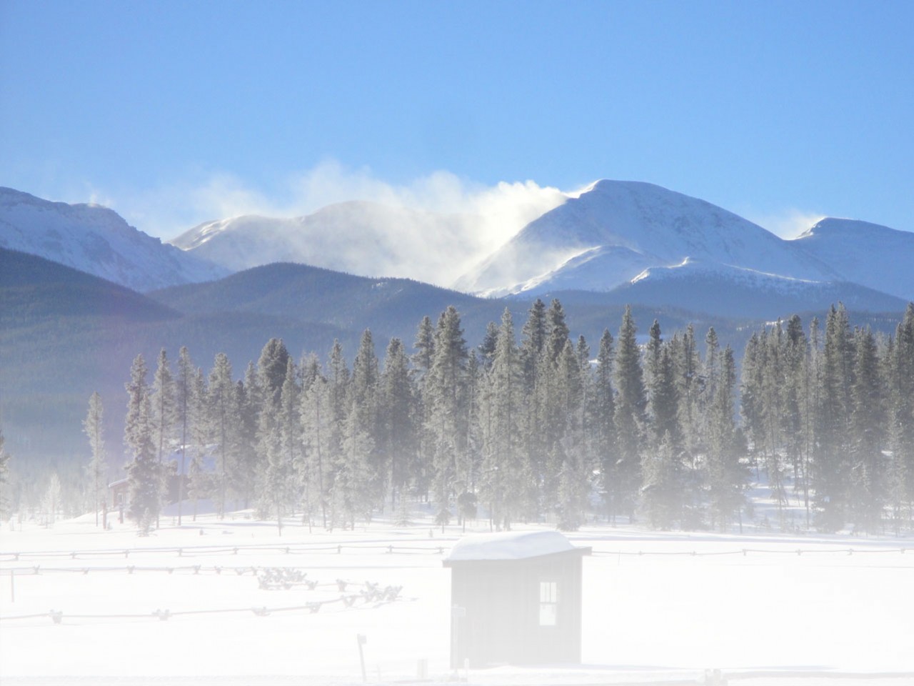
1. Nihahi Ridge, Kananaskis

The motivating views!
“Don’t forget the bear spray”, my partner yelled at me as I hurried out the door at 8 am, en route to a moderate fall hike in the Rockies. I laughed at him as I shook my head, thinking he was the last person on earth to give me any sort of advice, judging by the fact I have never seen him in hiking boots. I was off to meet my sister, my partner in crime, my hiking buddy who yells at me when I want to quit, brings all the good snacks, and brings workout fashion gear to a whole new level. She also happens to be a pretty rad photographer.
Driving out to Kananaskis Country from Calgary is well, relatively uninteresting; that is until you see the towering Rockies in front of you. We are off to tackle Nihahi Ridge, a hike that had been recommended to us which was only supposed to take three hours. The last stop along the way is a gas station where my sister agreed we should probably get some bear spray. After all, we are in grizzly bear country. After signing our lives away on a waiver, stating we couldn’t spray people with the bear spray and we wouldn’t sue if the bear ate us instead of running away once we had sprayed, it was off to the mountain.
Arriving at Nihali Ridge
Access to Nihahi Ridge is only available from June-December, as the road closes during the winter because of the risks of an avalanche. Getting to the trailhead takes about 30 minutes from where you park.
When trekking through the campsite in order to reach the trailhead, you have a stunning view of the peaks. We really had no idea of which peak we were climbing. On a side note, fall in the Rockies is a cold time of year and this particular morning was a cool 5 degrees Celsius. Both of us were bundled up to the max, plenty of layers, hats, and mitts.
As we spotted the sign for the trail, we soon realized that this hike would be steep and unforgiving. Fast-forward twenty minutes and if this was a movie, it would look something like this. Camera swings to Lindsay, “I can’t breathe, must take off layers”. Camera swings to Jenny, “I need food. How long have we been walking? Do you think we are almost there yet?”
Starting The Hike At Nihali Ridge

Halfway there! Photo by Jenny MacNevin
We chose this moderate hike because both of us are in fairly good shape, and do a lot of hiking. However, twenty minutes in we were both dying, which should have been our first warning sign.
The way up is a steep trail through the woods, gorgeous, silent and empty of other hikers. Thankfully, about an hour in, the trail levels off as you walk through the high meadow, and sparse trees. The only sound is the beating of the wings of the birds above. Then you realize just how far away you are from the summit.
Once you have crossed the meadow it’s time for a pit stop, a chance to refuel, get your energy back and admire the scenery. Unfortunately for us, we had already stopped about 5 times and got right on marching through.
Getting Closer To The Summit
Welcome to the hard part of this hike. Nihahi Ridge is made up of shale, small slippery pieces that are seemingly waiting for you to take a wrong step and send you tumbling down the mountain. This is also where the absolute epic scenery begins to emerge. Although it’s hard to appreciate as you walk very carefully along the skinny shale-free path. It is here that you are truly in the middle of the mountains. There is nothing but lakes and peaks as far as the eye can see.
Walking this steep uphill required me to dig deep inside, as my legs were screaming at me to stop. It was taking all my focus not to fall down. It feels as though you are going to circle the entire mountain. The path seems endless in front of you. However, that is until it abruptly stops and what you face is an uphill rock climbing battle.
My sister and I looked at one another with worried expressions on our face, then looked around for an alternative route. We were thinking desperately we made a mistake or a wrong turn. As the wind howled around us and the air temperature dropped, I began to climb, praying that I would remember everything I learned in rock climbing lessons that I took almost 20 years ago.
Almost There…

We made it to the summit!!
As we inched our way to the top I felt a sense of pride and satisfaction, that we were conquering this mountain. That is until we came to the top and saw that it was not the top at all, but a mere obstacle on the way to the top. What awaited us for the next 30 minutes was a steep ascend through the slippery shale, to an even steeper ridge that looked impossible to cross. The summit looked impassable, far out of reach, yet there were other hikers up there. So without thinking twice, we began to slowly shuffle our way across the ridge. With room for only one person at a time, it was a slow process, part walking, part crawling and desperately trying not to look down. And then we were there.
Reaching The Top of Nihali Ridge
 On top of the world, or at least that’s what it felt like. After three tiring hours, plenty of laughs, bruises, and a couple of wrong turns we had made it to the top. “We did it” I yelled as I posed for a picture, quietly muttering curse words under my breath about how much harder it was than I thought.
For the way down, I will let the pictures here speak for themselves. The descent is steep, unforgiving and almost as hard to manage as going up. The views on the way down are incredible though, as you are far too focused on what lies ahead while going up, not what is behind.
It is a long hour down to the start of the trailhead, and then the grueling half an hour hike through the campsite to reach the car. As you pull out of the parking lot and look back at the ridge, it becomes quite clear that although many call this a moderate hike, it should be put into the “less moderate more difficult” category, in our opinions.
2. Grassi Lakes, Canmore

You can see the look of despair in my son’s eyes!
Family hiking should be fun, right? At least that was the plan when we decided to honor the tradition of a thanksgiving hike in the Rockies. Growing up, my sister and I had been bundled up every thanksgiving weekend by our mom and taken out for a hike, making it a long-lasting memory. Now having our own children who are old enough to walk on their own (or so we thought), we decided to introduce this tradition to them.
The perfect family hike we decided on was Grassi Lakes in the Canmore area which is a short, non-technical hike that leads you past breathtaking waterfalls and two incredible looking lakes. Arming ourselves with enough food and water for a small army, we set out to the mountains.
Starting The Hike At Grassi Lakes
It only took five minutes for one of our kids to sit down on the well-marked path and exclaim that they needed to be carried because they were tired. 5 MINUTES!
Squashing that notion, we carried on. About 10 minutes into the hike from the parking lot you come to a fork in the trail with a sign. With the fork pointing, either way, it showed us that going left was the more difficult way and right was the easy way.
At this point, one would have thought to take the easy way but we wanted an adventure with the kids! Taking the left path we climbed gradually through forested terrain, taking pit stops every ten minutes. Being Thanksgiving weekend, this trail was extremely busy with families, dogs, and climbers.
Emerging from the forest, we came to an especially steep area. This area offered incredible views of the waterfall and the town of Canmore, with a steep set of slippery stairs leading us up higher until we reached the lakes! Did I mention that both kids have complained enough times that we are now piggybacking them?
Reaching The Lakes

The colors of the lakes were unbelievable.
Grassi Lakes are two, small, shallow, pristine, aquamarine lakes that sit in the midst of mountain peaks. A figure-eight trail led us around them, as we were stopping every other moment to try and capture the color of the water.
The water is clearer than any lake water I had ever seen before in my life. When the sun hit the water it turned amazing colors of green and blue. There was an abundance of things to do up here with the kids. There are shallow caves to climb into, ancient rock paintings, rock climbers to watch, and plenty of squirrels and chipmunks looking for food. Spending an hour at the top was easy; convincing the kids to get in for a photo, on the other hand, was the difficult part.
When it was time to go, the kids begged to stay longer, seemingly forgetting that just an hour ago they were complaining that their legs hurt. We decided to take the easy route down. This route is a fire road that leads pretty much straight down the side, devoid of any of the epic scenery we saw on the way up. A true family-friendly hike, whether the kids want to or not, this is one place we will be returning to for many years to come.
3. Yamnuska, Kananaskis/Canmore
“Let’s go”, I yell as I honk the horn impatiently in the driveway. I watch my hiking buddy scramble to grab everything we need for the moderate hike we are about to embark on. Yamnuska, also known as Mount John Laurie is the destination, a classic Bow Valley hike for hikers and climbers.

Coffee in hand! Not prepared enough for this hike!
Its sheer 500-foot face can be seen from the TransCanada and the peak is often in the clouds. Most of us locals refer to it simply as “the dinosaur”. There are many routes up this limestone mountain to the 2240m summit. Although this popular peak is summited by an abundance of climbers, we were told even hikers can make it to the summit without special equipment.
With our coffees in hand, backpacks on, and silly grins we set out from the parking lot to conquer this dinosaur. However, not before looking around at the serious-looking climbers with their trekking poles who had invaded the parking lot. Perhaps we were less prepared than we thought.
Starting The Hike At Yamnuska
Although steep at times, the first 3km was through a mixed forest. There was a wide variety of wildlife including birds and a forest grouse which we thought was a bear. I had laughed at the thought of carrying bear spray. However, after nearly having a heart attack hearing the grouse take off, I was regretting my choice not to buy any.
The trail is tricky as it leads you away from the mountain and then back towards it, always making you wonder if you are lost. There are numerous branches off the trail, which offer incredible views and rest stops. It is well worth stopping to snap some photos here.

Photo op!
With my legs burning and fueled up on coffee and granola bars, we finally made it to the Chimney, a tight wedge in the eastern edge of the rock that opens you out to the backside of the mountain. As we ascended the face of the mountain, our true hiking/ scrambling skills were put to the test.
After squeezing our way through and dodging falling rocks from above, we thought we hit the summit. But oh no, this mountain offers plenty of false summits, which get your hopes up and pull them straight back down. Although the views were incredible and there were a couple of pillars to stand on to have a picture taken, we wanted to see the summit so we pushed on. Unfortunately, our camera decided to crap out here…..
Reaching The Top of Yamnuska

Traversing the ledge on a previous summer hike!
The fabled Yamnuska traverse awaited us next. We had been warned about this section, which causes many many people to turn around in fear. Luckily for us, in recent years a chain has been fastened to the cliff. You are now able to go hand over hand, as we made our way around the narrow ledge. At times the ledge seemingly disappears, causing me to pause in fright before sidestepping to the next foothold.
Arriving at the backside of the mountain, there is no clear trail up to the actual summit that we saw high above us. It’s time to get scrambling again. We made our way slowly to the top, up steep loose slopes that one misstep would result in absolute death.
As always though the view from the summit is stunning, almost awe-inspiring as we looked on for miles. We could see the Seebe Dam and the Bow River below, as well as the prairies that open towards the east and the Rocky Mountains that rise to the west.
Getting Down Yamnuska

View from the top!
Getting down seemed to be our worst nightmare. It starts with a quick run/fall down the back of the western face, in scree of course. As we flew through, other trekkers were using their poles to successfully navigate their way down in a poised and careful manner. It did again run through my head that perhaps we weren’t as well prepared as we thought.
The Western edge is where it gets tricky in knowing how to get down. There are so many ways both up and down this mountain, and the trails veer in all sorts of directions. There is a choice. Head down more scree on the right which is supposedly faster or you can take the well-worn trail that turns left and descends along the left side.
Let me be clear and state that I did not want to go down any more scree. I choose the left path as we hung to the main trail and worked our way along the bottom of the cliff face. Eventually, the trail hooked us back up to the prominent trail that can be seen from the parking lot. After descending down the small gravel slope, we were back on flat land!
Three hikes: Three things checked off my bucket list. If you can get to the Canadian Rockies and squeeze in some hikes before the snow falls, make sure to check these three out!
Read More: What To Bring When Snowshoeing: Top Accessories For The Day Hiker
Follow us for the latest news!